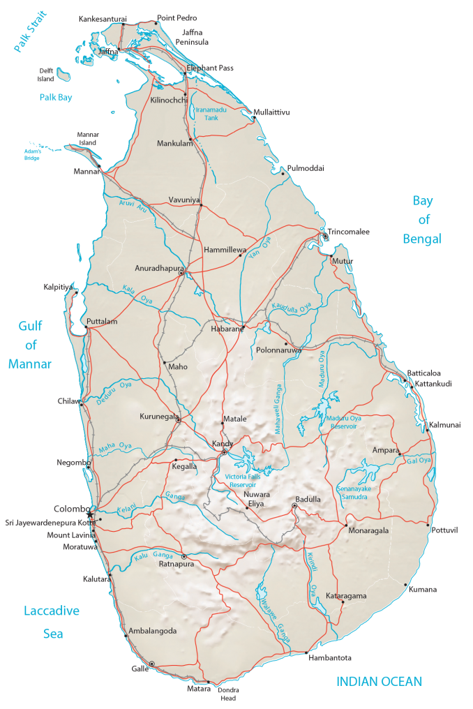
The geological story of Sri Lanka is interesting. It was once connected to India as recently as 1480. But over time, the land bridge (Adam’s Bridge or Ram Setu) eroded away, forming the island of Sri Lanka. The shape of Sri Lanka resembles a teardrop or pear. It occupies an area of 65,610 square kilometers (25,330 sq mi). In comparison, India is about 50 times larger than Sri Lanka. Rivers radiate outward toward the Indian Ocean like the Kalu, Yan, and Kirindi Rivers.
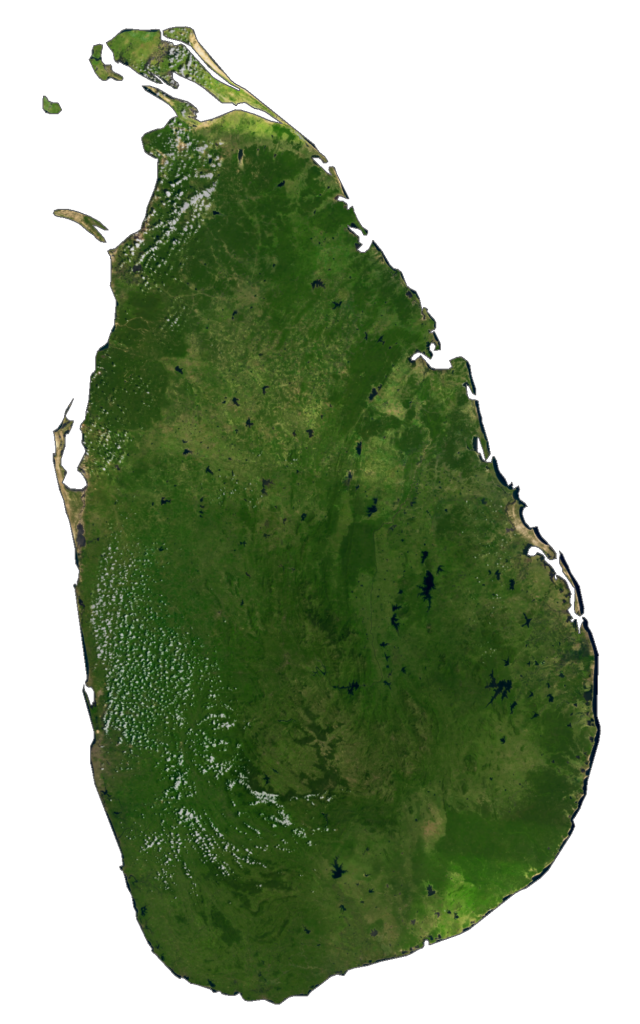
Sri Lanka Elevation Map
The terrain in Sri Lanka is dominantly low with flat and rolling plains. But the interior southern region is especially mountainous, known as the Central Highlands. Specifically, it includes the Knuckles Mountain Range. At 2,524 m (8,281 ft), Pidurutalagala is Sri Lanka’s highest peak, which resembles a clenched fist. Its coastal area surrounds the island with lagoons and sandy beaches.